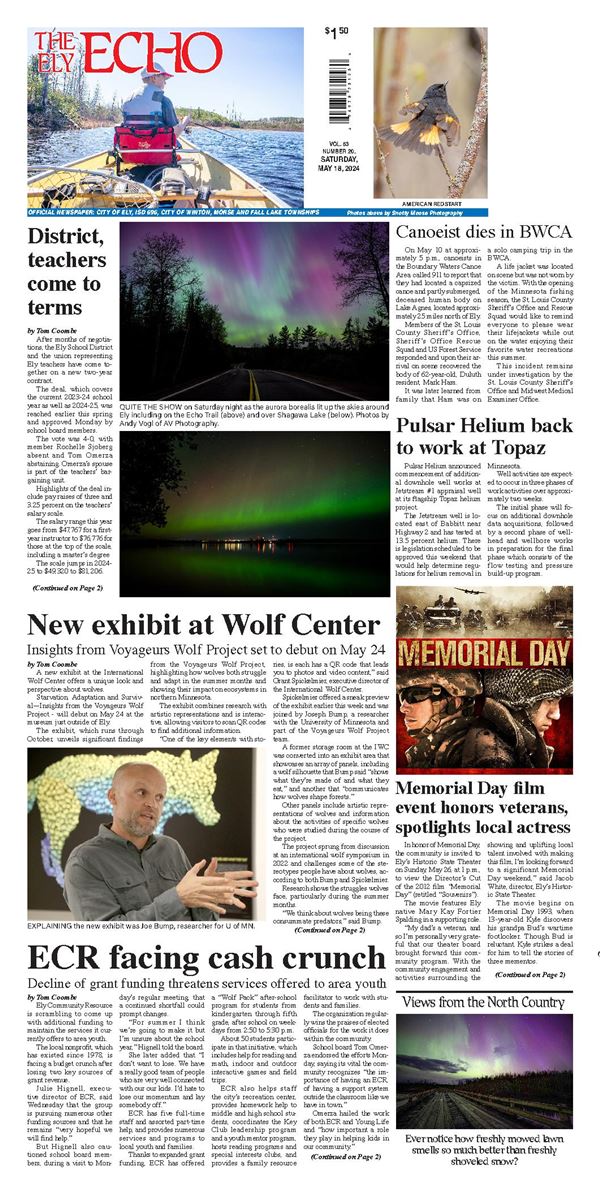
.jpg)

Due to the Wood Lake wildfire in the BWCAW, the Superior National Forest Supervisor Tom Hall is closing a portion of the BWCA with an Emergency Forest Order 09-09-24-07 effective Sept. 12, prohibiting visitor entry at specific campsites, portages and lakes. The closure may be modified or extended as conditions allow. As of Friday the fire was listed at 17 acres and zero percent contained.
The Forest Order closures include:
- All campsites, portages, rivers, and lakes within the closure area (see in Exhibit A), including but not limited to 19 locations as noted.
- The Forest Service has notified permit holders, cooperators and outfitters and is encouraging permit holders to seek an alternate area of the BWCAW or consider non-wilderness areas of the SNF (see below) for similar experiences. At this time overnight paddle and day use is not permitted in the closure area.
The Forest Service said in a news release, "We understand that this will impact our visitors, cooperators, and communities near the restricted area. This emergency closure is necessary for the safety of our visitors, our wilderness rangers and our fire-fighters. Northern Minnesota is facing severe to extreme drought conditions, causing active and increasing fire across the landscape. Forest Staff are managing suppression actions on the Wood Lake Fire with additional resources on standby. Beyond the closures for the Wood Lake Fire, the SNF is open to the public and no other restrictions apply."
Frequently Asked Questions
Q. Why is there going to be a closure for such a small wildfire?
A. A closure order is needed to prioritize safety: Firefighter and public safety are the top priorities. Superior National Forest (NF) management also considered other factors that determined the need for a necessary closure order including above average temperatures, forest drought conditions, extended forecast conditions, availability of firefighting resources, and vegetative fuel conditions in and around the fire area. In addition, the fire is in a unique area of the Forest – a designated Wilderness, which is managed differently.
Q. Are there going to be cancellations of permits on the BWCAW?
A. The Superior NF has contacted the cooperators and current BWCAW permit holders with permits for Wood Lake-Entry Point#26. Wood Lake permittees and day use visitors are encouraged to seek alternative experiences. Since this is an evolving incident, the Superior NF will review the permit levels and make any adjustments as needed.
Q. I used a cooperator for my permit for this area, what do I do?
A. Contact your cooperator to discuss your trip and possible options, permits in other areas are still available.
Q. Which points of entry are affected by this Closure order?
A. The following areas are restricted: BWCAW Entry Point: #26-Wood Lake. Lakes: Wood, Hula, Good, Indiana, Wind Bay (Basswood Lake), Wind Lake, and Washte Lakes
Portages: Wood Lake Entry Point Parking Lot to Wood Lake, Wood Lake to Hula Lake, Hula Lake to Good Lake, Good Lake to Good Creek, Good Lake to Hoist Bay (Basswood Lake), Good Lake to Indiana Lake, Indiana Lake to Basswood Lake, Indiana Lake to Wind Bay Creek (Wind Bay, Basswood Lake), Wind Bay to Wind Lake, Wind Lake to Washte Lake, Wind Lake to Moose Lake.
Q. How long will the closure be in place?
A. Public lands closures help to reduce interference with emergency crews and allow for fire suppression and burned area recovery.
Q. How do I find more information about the Wood Lake Wildfire?
A. Go to Inciweb for this incident can be found at
https://inciweb.wildfire.gov/incident-information/mnsuf-wood-lake-wildfire. You will find information on other wildfires on this website as well.
Q. How many campsites will be affected by this closure on the BWCAW? And are there permits available for other points of entry?
A. There are 19 campsites that are affected.
Yes, there are still permits available at other points of entry. The Forest Service is encouraging people to seek alternate locations for their visit, either on the BWCAW or at any of the 23 developed campgrounds and 18 rustic campgrounds. There are 254 backcountry campsites outside the wilderness that offer remote paddling, camping and fishing.
Q. Can I fly a recreational drone over the wildfire to take photos?
A. No, flying drones or Unmanned Aircraft Systems (UAS) within or near a wildfire without permission could cause injury or death to firefighters and hamper their ability to protect lives, property, and natural cultural resources. In addition, drones are prohibited from launching, landing or being controlled from within designated wilderness areas.
Q. What does it mean by the Forest Service is using Full Suppression tactics for this wildfire?
A. The Forest Service is using a full suppression approach. By Forest Service policy, every fire receives a strategic, risk-based response appropriate for the circumstances and associated threats and opportunities. Each strategy uses the full spectrum of management actions that consider fire and fuel conditions, weather, values at risk and resource availability.
Fire danger is high from Duluth through Arrowhead due to drought conditions and above normal warm weather. Fire danger is likely to remain high for the next few weeks. In addition to the weather conditions, this area includes high fuel loads, due to spruce budworm affected trees – both standing and laying down that can increase fire behavior.
Q. How is the current air quality situation affecting wildfire operations?
A. Canadian wildfires are contributing to some decreased air quality conditions across northern and central Minnesota. Air quality is currently MODERATE for the Ely area. For more information on air quality where you live, see. https://www.airnow.gov/
Safety is our number one priority and, in some instances, aviation resources like planes, helicopters, etc. may not be used in suppressing a fire because of continued air pollution from Canadian wildfires.
There are 254 backcountry campsites outside the Wilderness that offer remote paddling, camping and fishing. Here you can experience solitude without reservations, fees or permits and still have similar amenities to that of a BWCAW campsite. Many backcountry campsites are located on canoe routes outside the BWCAW. State forests and parks and county lands are also available for recreation.
For more information on recreation alternatives outside the BWCAW, visit:
Superior National Forest - Water Activities:Boating - Non-Motorized (usda.gov)
For a list of canoe routes with backcountry campsites in the Superior National Forest, visit: Canoeing 2012 rev 0415 final.pub (usda.gov)
For additional information regarding fire-related and/or forest closures and updates:
- Frequently Asked Questions (FAQs) for this closure can be found on the forest order page Superior National Forest - Alerts & Closures (usda.gov)
- Inciweb for this incident can be found at https://inciweb.wildfire.gov/incident-information/mnsuf-wood-lake-wildfire
- SNF Forest Orders are available here: Superior National Forest - Alerts & Closures (usda.gov)
- See the Superior National Forest website www.fs.usda.gov/superior
- Fuels and Fire Behavior Advisory
- Fuels/Fire Danger | National Interagency Coordination Center (nifc.gov)


")


