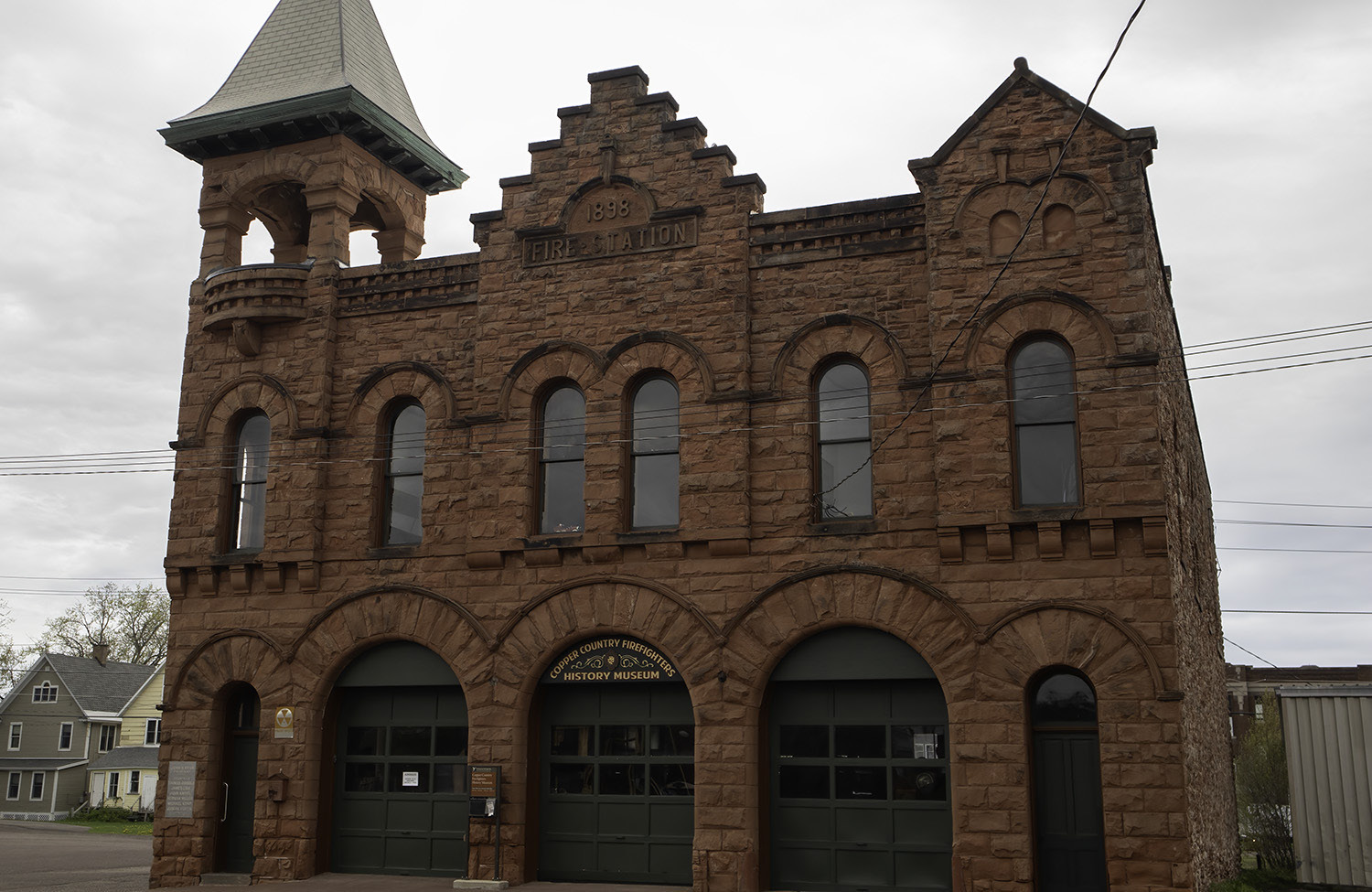
.jpg)

plate and one of the reasons they take their time asking you questions is to do a quick background check of your identifications when you are sitting there.
There are many things that might be on your record that can keep you from crossing – including DUI’s. If you think you might have a concern, be in touch with Canada before you go. Many things can be taken care of with paperwork done ahead of time.
Whew! Everything went well and we were on our way in about five minutes!
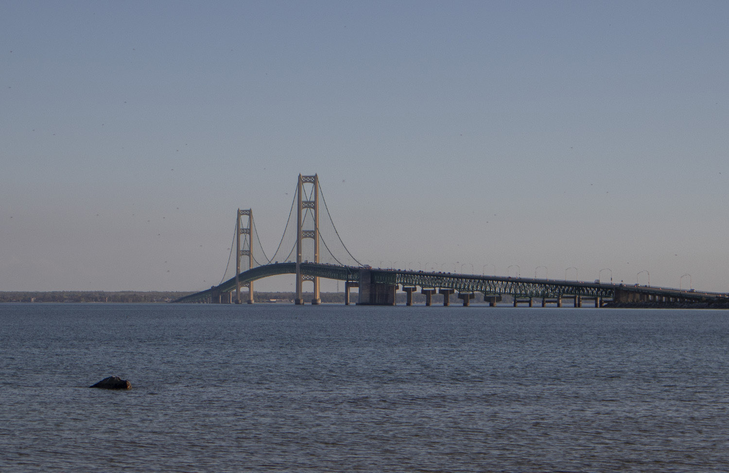
We came back into the U.S. at Sault St. Marie. The biggest problem we had was finding the crossing! More on that later.
The process is simpler and less stressful returning to the American side. At the border, they asked for passports and how long we had stayed in Canada. Did we buy anything to bring back while there? A bit of small talk and we passed through.
Costs – currency, gas, food and camping Canada’s monetary system is similar to the U.S. as to dollars and cents. There is an exchange rate that is favorable to American dollars. It changes daily but hangs around a 30% difference.
So, at today’s rate a Canadian dollar is worth about 73 cents American. Put the other way, an American dollar equals about $1.36 Canadian. It can take your breath away when you see a total come up on a cash register but reduce it by about 30% and it will equate to the lower amount in American dollars.
For this trip we decided not to get any currency to bring across.
We relied exclusively on credit cards. Not worrying about losing paper money is one thing, but not thinking about exchange rates is another. The credit card companies will automatically charge you according to the correct exchange. Most, however, will charge a small fee for the service. Prices widely vary when compared to our side of the border. Some things cost about the same. Some are cheaper. Some are more expensive. Food and lodging were similar. Gas, on the other hand, is expensive. It took my breath away when I filled up the first time and the pump said 83.6 liters at a cost of $152.51!
So, that was about 22 gallons of fuel that ran almost $112, or $5.09/gallon.
Camping costs varied greatly.
Our first night outside of Thunder Bay cost us about $100 (American) with full hookups. Our second night in Marathon, ON cost $41 with full hookups. More on that as we go through our trip later in the series.
Once you head east from Thunder Bay, there are few towns and communities. Distances between gas and other services can be far apart. Keep an eye on your gas gauge and munchie supply.
There are fewer campgrounds than on the American side. There seem to be more motels and places to stay than campgrounds, so if you want to go sans trailer, you have many options. Cell service is pretty good, but there are some dead spots.
Time of year
Mid-May has many advantages
for traveling. Traffic was almost not a factor. You could drive up to a campground and expect that there would be a spot open. June, July and August would be a different story. I don’t recall swatting a single mosquito. Ontario schools are in session until mid-June and U.S. schools at least until the end of May, so family excursions are few and far between. Road construction was at a minimum. We saw many stretches of highway that were getting ready for the construction season but hadn’t started yet.
There are some downsides, however. The weather can be iffy. It’s not unusual for temperatures to dip into the 20s and May can be a wet time of year. We were fortunate that the weather was pleasant for most of our time on the road. We had rain only on the last day, and we were heading home at that point.
Our biggest problem was that the “tourist season” hadn’t started and many campgrounds, parks, museums and other attractions hadn’t opened yet. We were able to see and do many things, but missed opportunities that may necessitate another trip at some time.
Spring really sprung during our time on the road. The forests greened up, and flowers started to bloom – especially along the South Shore. Fall can be a great time to go. Some of the congestion slows down and fall colors will show along the entire length of the route.
Length of trip
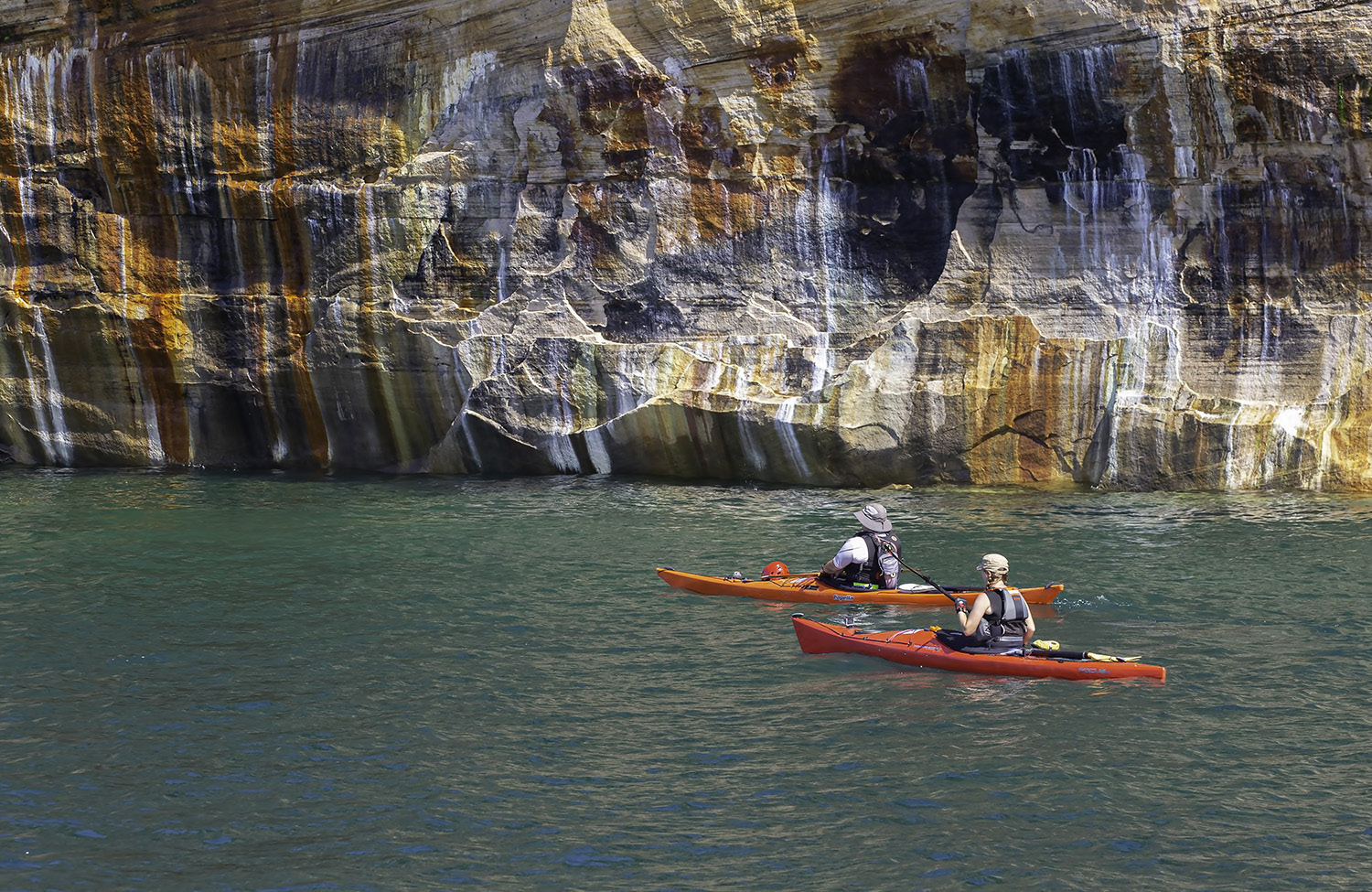
We were on the road for seven nights and eight days. If I would do anything differently, I would stretch that to two weeks. There is so much to do and see. If you plan any hiking or kayaking, add several days to your trip. Unfortunately, many of the attractions we would have liked to have seen (museums, etc.) were closed and would have added at least two days to our itinerary.
I love to dive into an area and explore it intimately. We were able to do that once during our trip but could have easily picked another couple of areas to spend extra time. I could see that three weeks, or even a month, could easily be done!
I hope you come with us on our journey! With all the preparations finished in Part 1, we’ll hit the road next week and look at the North Shore, getting through Thunder Bay and to our first night of camping.


")


